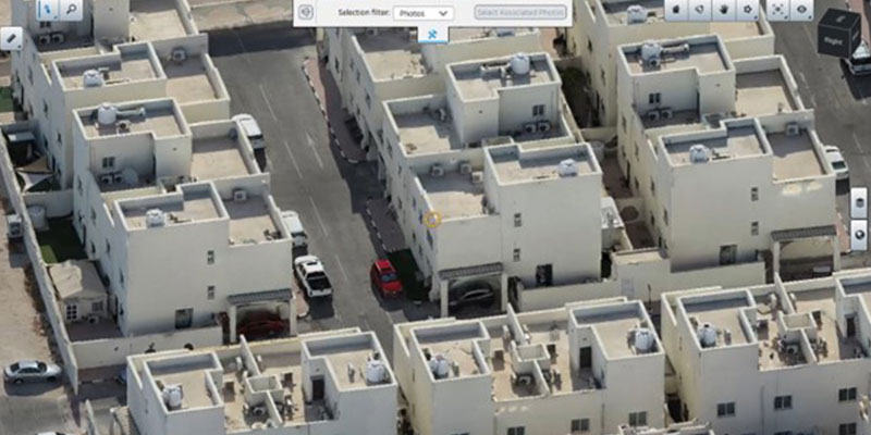
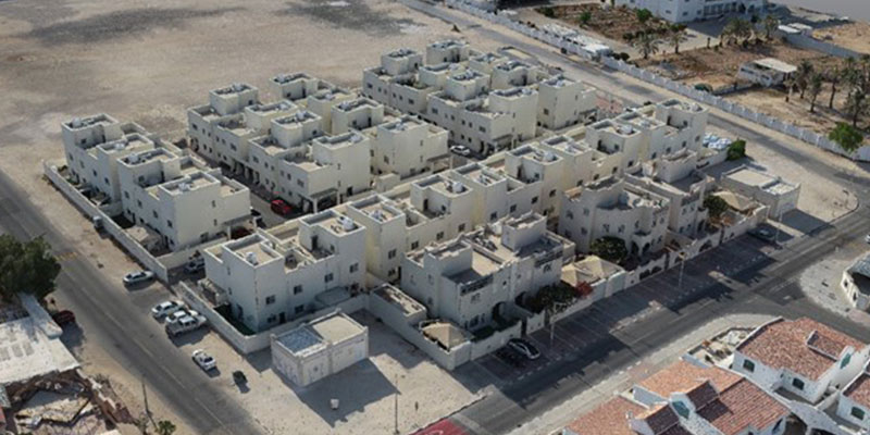
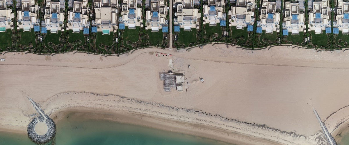
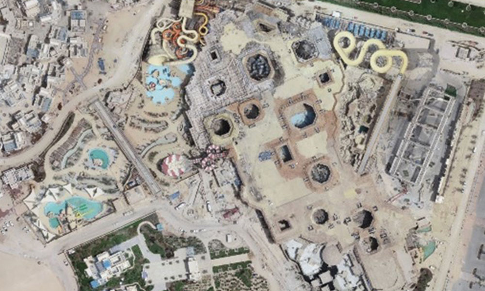
Drone surveys involve the deployment of drones or unmanned aerial vehicles (UAVs) outfitted with RGB cameras, multispectral cameras, or LiDAR systems as necessary. Subsequently, the collected data is transmitted to specialized equipment positioned on the ground in proximity to the UAV operator. The culmination of a drone land survey is the production of a detailed map at a designated scale, delivered in digital form.
Drones utilized for surveying purposes have the capability to operate at significantly lower altitudes compared to conventional methods such as manned aircraft or satellites. This allows for the capture of high-resolution, precise images in a quicker and more cost-effective manner, regardless of weather conditions such as cloud cover.
We provide high data accuracy
Drones have extremely high accuracy, with aerial mapping reaching centimeter-level accuracy and mapping accuracy generally reaching 1:1000. In addition, aerial mapping also has a wealth of 3D geographic information, which can capture the data of large-scale terrain.
We map inaccessible places safer
Drone topographic survey allows us to obtain extensive and reliable data from inaccessible locations, unsafe steep slopes, or hazardous terrain. This means that surveyors can create a 3D computer model of the object under study and take a series of measurements in the office, without necessarily needing to be in the field or in a hazardous area to obtain data.
