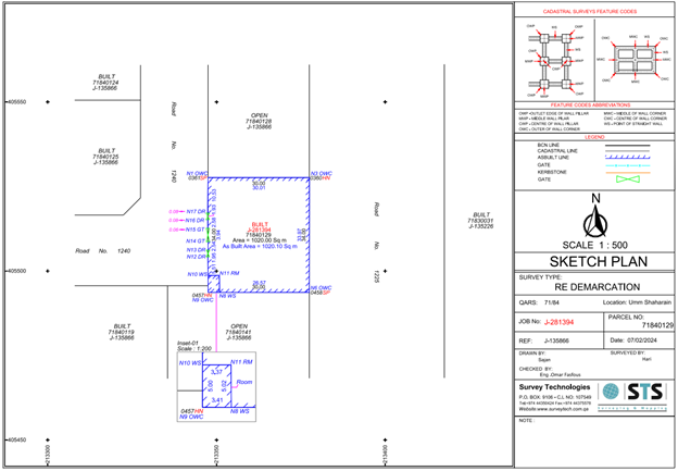
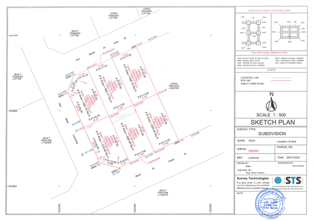
A cadastral survey is indispensable in protecting the citizen’s property rights by registering land information on the cadastral records, which serve to publicly verify cadastral information such as the location and area of land. The cadastral service plays a crucial role in land administration, urban planning, and economic development by providing accurate and up-to-date information about land parcels.
Capitalizing on our experts and abundant surveying experience accumulated over a long period of time and advanced technological superiority, STS surveys the land in a prompt and accurate manner and offers useful information for the daily lives of the Qatari people and companies.
With STS you are able to have records related to land ownership, property boundaries, and land use. our primary functions typically include recording property transactions, updating land ownership information, creating maps, and assessing property values for taxation purposes.


