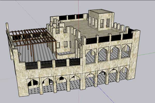
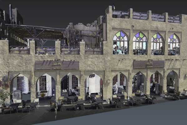
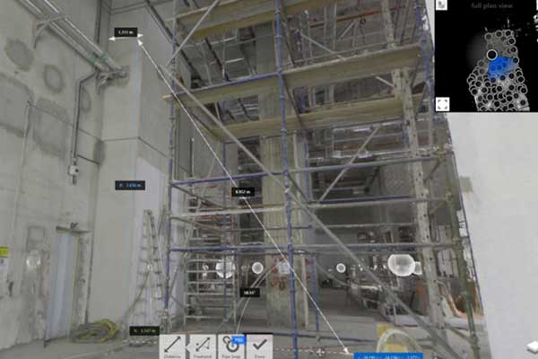
3D laser scanning, also known as lidar (Light Detection and Ranging) scanning, is a technology used to capture precise, detailed three-dimensional representations of physical objects or environments. It involves emitting laser beams in a sweeping pattern and measuring the time it takes for the beams to return after bouncing off surfaces. By collecting millions of these data points from different angles, a highly accurate 3D model or point cloud of the scanned area is generated.
Digital Twin Model
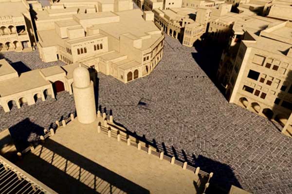
A digital twin is a virtual replica of a physical object, system, or process. It’s created using data collected from sensors and survey technologies such as lidar, photogrammetry survey and other sources. it mirrors the real-world counterpart in real-time.
With STS Digital twins’ services, you can enable simulation, analysis, and optimization of physical assets or processes, leading to improved efficiency, predictive maintenance, and innovation across industries such as smart cities.
As-Built Surveys
Conducting 3D laser scanning surveys to capture accurate measurements and geometric data of existing structures, facilities, or landscapes. This information is valuable for renovation, retrofitting, or documentation purposes in construction, architecture, and engineering projects.
Topographic Mapping
Using 3D laser scanning technology to create detailed topographic maps of terrain features, including contours, elevations, and surface irregularities. This data is essential for land development, urban planning, and environmental analysis.
Scan to Building Information Modeling (BIM)
Integrating 3D laser scanning data into BIM software to create digital representations of buildings and infrastructure projects. This enables stakeholders to visualize, analyze, and collaborate on design and construction processes more efficiently.
Quality Control and Inspection
Performing quality control inspections of manufactured components, assemblies, or structures using 3D laser scanning to ensure dimensional accuracy and detect defects or deviations from specifications.
Heritage Preservation
Digitally documenting historical sites, artifacts, or cultural heritage assets through 3D laser scanning to preserve their physical characteristics and spatial relationships for research, conservation, and public education purposes.
Infrastructure Monitoring
Monitoring and analyzing the condition and deformation of infrastructure assets such as bridges, dams, and pipelines over time using repeated 3D laser scanning surveys. This enables early detection of structural issues and informed maintenance decisions.
