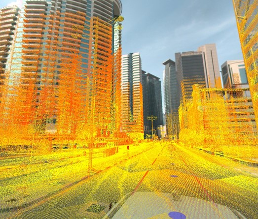
STS owns a Trimble MX9, which is a state-of-the-art Mobile Mapping equipment. STS has the experience and expertise to quickly and efficiently collect and deliver mobile mapping data. Whether you are a city planner, work for a department of transportation or as a service provider, count on us for generating deliverables such as:
Road assets
Cross sections
3D models and mesh
GIS layers
Elevation models
Volumetric analysis
High-Speed Data Capture
STS with MX9 can rapidly collect vast amounts of data while traveling at highway speeds, significantly reducing data acquisition time compared to traditional survey methods. This efficiency allows for more extensive coverage in a shorter timeframe.
Highly Accurate Measurements
With MX9 advanced lidar technology and integrated GNSS/INS positioning systems, the MX9 provides highly accurate 3D measurements of surfaces, features, and objects. This level of precision ensures reliable data for engineering design, construction planning, and asset management.
Comprehensive Data Collection
The MX9 combines multiple sensors, including lidar, 360 panoramic imaging, and high-resolution cameras, to capture comprehensive 3D datasets with detailed surface textures and visual information. This multi-sensor approach enables a holistic understanding of the surveyed environment.
Versatile Applications
MX9 is suitable for a wide range of applications, including transportation infrastructure mapping, urban planning, utility asset management, and environmental monitoring. Its versatility makes it a valuable tool for various industries and disciplines.
Improved Safety and Efficiency
By capturing data from a moving vehicle, the MX9 eliminates the need for manual surveying along roadways and busy urban areas, reducing exposure to traffic hazards and enhancing worker safety. Additionally, its high-speed data collection capability improves project efficiency and reduces labor costs.
Data Integration and Analysis
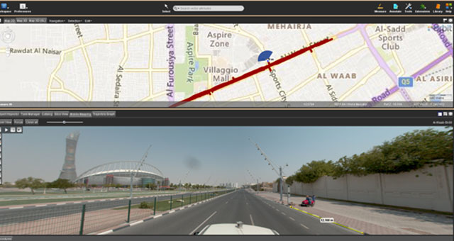
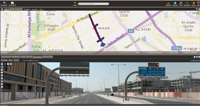
The MX9 generates point cloud and imaging data that can be seamlessly integrated with GIS (Geographic Information Systems) and CAD (Computer-Aided Design) software for analysis, visualization, and modeling. This integration streamlines workflows and facilitates data-driven decision-making.
Real-Time Monitoring and Mapping
With optional real-time processing capabilities, the MX9 can provide immediate feedback and visualization of collected data, allowing users to assess survey coverage and data quality on-site. This real-time monitoring capability enables quick adjustments to survey parameters and ensures data completeness.
Scalability and Flexibility
The MX9 system is scalable to accommodate different project requirements and can be mounted on various vehicle platforms, including cars, trucks, or UAVs (Unmanned Aerial Vehicles). This flexibility allows for customization according to project specifications and budget constraints.
