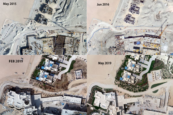
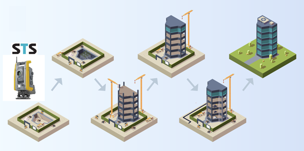
A monitoring survey is a specialized type of surveying activity designed to track and evaluate changes in the physical environment over time. This type of survey is often employed in various industries and sectors, including construction, engineering, environmental monitoring, and infrastructure management.
The parameters monitored in a survey can vary widely depending on the project or application. For example, in construction and engineering projects, monitoring surveys may track changes in ground settlement, building stability, or structural deformation, and tracking changes in bridges and tunnels situation over time. The selection of monitoring parameters is typically determined by project objectives, regulatory requirements, and environmental concerns.
STS monitoring survey team can assess changes in specific parameters or features within a given area. This could include monitoring changes in land elevation, structural movement, ground deformation, water levels, vegetation growth, or environmental conditions. By regularly collecting and analyzing survey data, clients or stakeholders can identify trends, detect anomalies, and make informed decisions regarding ongoing projects or environmental management initiatives.
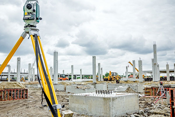
STS monitoring survey team utilize a variety of techniques and tools to gather data accurately and efficiently. These may include traditional surveying instruments such as total stations, GPS receivers, and levels, as well as advanced technologies like LiDAR (Light Detection and Ranging), drones, remote sensing, and satellite imagery. The choice of techniques and tools depends on the specific parameters being monitored, the size and complexity of the area, and the desired level of accuracy and resolution.


STS monitoring survey team involve regular data collection at predetermined intervals to capture changes over time effectively. Survey data is typically collected using field measurements, remote sensing techniques, or a combination of both. Once collected, the data is analyzed to identify trends, patterns, and anomalies. Statistical analysis, geospatial modeling, and data visualization techniques may be used to interpret the survey results and derive meaningful insights for decision-making purposes.
Overall, monitoring surveys by STS play a vital role in tracking changes in the physical environment, assessing project performance, and informing management decisions. By employing appropriate survey techniques and tools and conducting regular monitoring activities, our clients can effectively manage risks, mitigate impacts, and ensure the long-term sustainability of their projects and environments.


