STS Survey Technologies
Home > Projects
QGMP Qatar Geological Mapping Project-Phase II

Location: Doha, Qatar
Project Brief
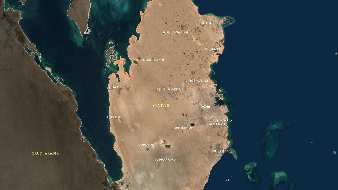
The State of Qatar’s Ministry of Municipality (MM) is leading the Qatar Geological Mapping Project (QGMP). This initiative aims to enhance comprehension of the geological and geotechnical conditions in the region, crucial for ensuring the long-term sustainability of future development. Each task within the project encompasses specific technical details.
Description of Actual Services / Performed
Project Overview :
The Qatar Geological Mapping Project (QGMP), led by the Ministry of Municipality (MM) in the State of Qatar, is designed to achieve comprehensive project goals, addressing three primary needs:
-
- Societal: Focus on economic development, water and mineral resources management.
- Environmental: Emphasis on natural hazards, environmental awareness, and sustainability.
- Educational: Promotion of scientific advancements awareness and operational use.
The project encompasses a range of services to ensure a thorough understanding of the geological and geotechnical conditions influencing the long-term sustainability of future development. These services include:
-
- Project Management and Coordination, Quality Check & Quality Assurance.
- Integration of Earth Observation (EO)-based information with geospatial data to support geological mapping.
- Geological, geotechnical, and geophysical investigations, field studies, and detailed analyses to characterize surface and subsurface conditions.
- Development of high-quality geological maps, thematic maps, and geological resources covering the entire State of Qatar.
- Consolidation of geologic, geotechnical, hydrogeological, geophysical, and laboratory data into a well-organized database.
- Creation of a 3D Geologic Model for the greater Doha area.
- Preprocessing and integration of existing data into the new database/system.
- Development and deployment of a user-friendly web-based geoportal supported by ESRI software, enabling end users to interact with QGMP data and map products.
- Capacity Building Services, including education and training of local staff, preparation of training materials, operation manuals, videos, and other resources for effective knowledge transfer.
- Facilitation of deliverables visualization for both industry specialists and laypersons.

